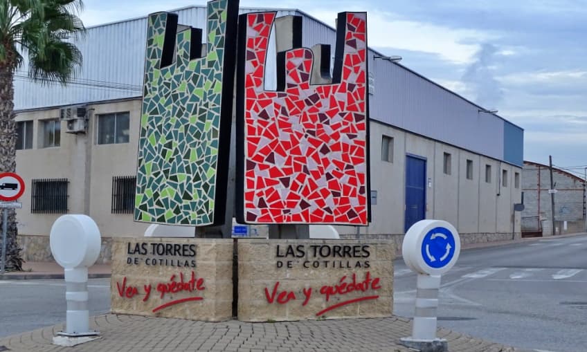
Las Torres de Cotillas Travel Guide
This municipality has a history conditioned by its location between the Segura river and the Mula river, which, together with the fertility of its lands, attracted exploitation first by the Romans and later by the Muslims.
Today, this municipality has strong industrial activity, especially by food and pharmaceutical companies.
Among its natural areas worth visiting, the “Rambla Salada”, the “Rodeo de la Ermita”, and the gardens of Constitution Park, as well as the Park of Paco Rabal, stand out. As part of its heritage, the Church of Our Lady of Salceda is its highest representation. It is a temple built in the late 18th century.
Location
Localities in the Vega Media del Segura


